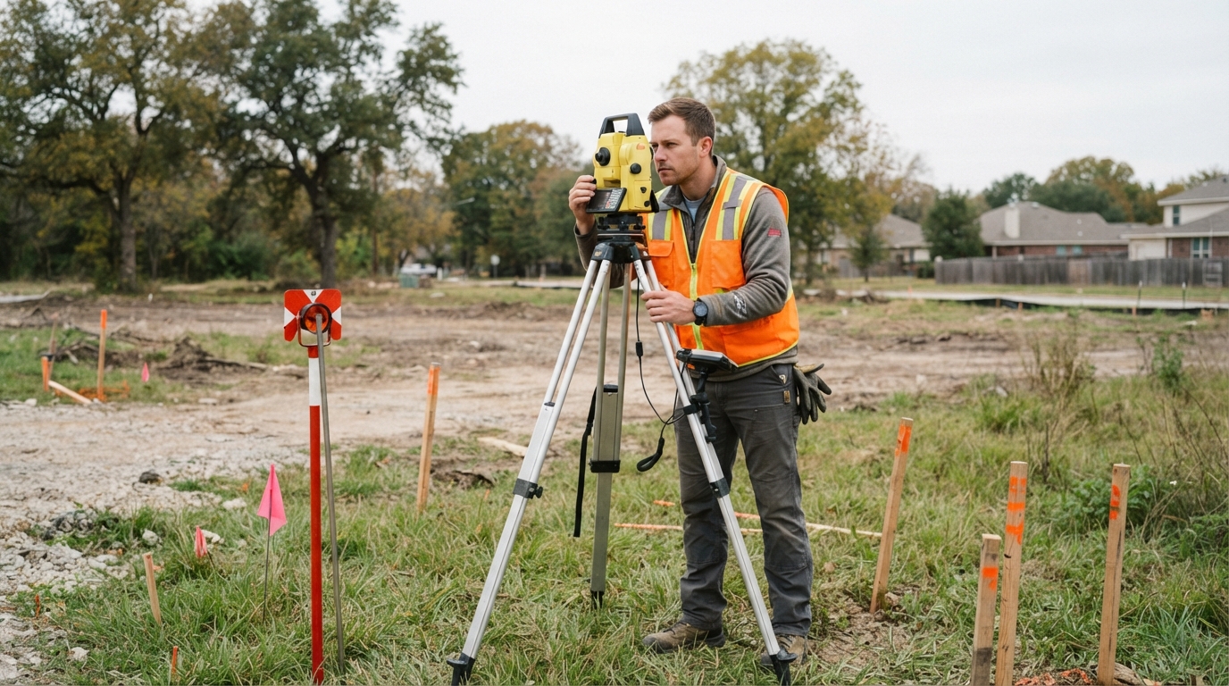
Quick summary:
• A land surveyor measures, maps, and legally documents property boundaries, topography, and site conditions before construction, financing, or property transactions move forward.
• Common service types include boundary surveys, ALTA/NSPS land title surveys, topographic surveys, and construction staking.
• In Chicago, IL, surveys often need to account for municipal zoning codes, subdivision regulations, and condominium or air rights documentation.
A land surveyor measures, documents, and certifies the legal boundaries and physical features of a parcel of land, producing the official records that lenders, municipalities, and property owners rely on before a project moves forward. Anyone buying property, building an addition, or subdividing land in Chicago, IL typically needs one of these professionals involved at some point in the process.
Hiring a Land Surveyor Chicago IL is usually not optional once a project involves financing, permitting, or a title transfer. Lenders and title companies often require a current, signed survey before closing, and local zoning offices use survey data to confirm setbacks and lot lines. A licensed surveyor combines field measurements with public records research to produce a document that holds up legally.
What a Land Surveyor Actually Does
The work splits into fieldwork and research, both of which feed into a final certified drawing.
• Reviews deeds, prior surveys, and public land records to establish a documentary history of the parcel
• Visits the site to measure corners, set or confirm monuments, and record physical features
• Reconciles any gaps between old records and current conditions, such as fences or shared improvements
• Prepares a sealed plat or map that becomes the legal reference for the property
According to a Wikipedia overview of cadastral surveying, surveyors are often required to interpret documentary and historical evidence to resolve inconsistencies between old boundary markers and present-day conditions. That reconciliation work is part of why a professional opinion, not a casual measurement, carries legal weight in property disputes and transactions.
Common Survey Types and When They Apply
Different projects call for different survey products. The table below outlines the most common types requested for property and development work.
| Survey Type | Primary Purpose | Typically Required For |
| Boundary Survey | Establishes legal property lines and corners | Fence installation, land disputes, additions |
| ALTA/NSPS Land Title Survey | Boundary survey plus easements, encroachments, and access review | Commercial financing, title insurance |
| Topographic Survey | Maps elevation, grading, and site features | Pre-design planning, architectural drawings |
| Construction Staking | Marks building locations and grades on-site | Active construction phases |
A boundary survey confirms where one property ends and another begins, while an ALTA/NSPS survey adds a layer of title-related detail that lenders and title insurers often require for commercial deals. Topographic surveys and construction staking, by contrast, support the design and building phases rather than ownership questions. Choosing the right type depends on whether the project involves a transaction, a dispute, or active construction.
Why Local Context Matters in Chicago, IL
Property records in older urban areas can be layered with decades of subdivision, rebuilding, and zoning changes, which makes local familiarity valuable. Condominium conversions, high-rise air rights divisions, and mixed-use developments are common survey requests in dense urban markets, since each unit, common area, and parcel division needs separate documentation. Municipal zoning codes and subdivision regulations in Chicago, IL also shape how a plat is prepared and recorded, so survey documents typically need to match local filing requirements before a project can proceed. Based in USA, PLCS Corporation serves clients with survey needs across Chicago, IL, without maintaining a physical office in that market.
Frequently Asked Questions
How long does a typical land survey take? Timelines vary by property size and record complexity, but most residential boundary surveys take longer when historical records are incomplete or neighboring parcels have conflicting documentation.
Do I need a new survey if one already exists for my property? An older survey may not reflect recent improvements, fence changes, or municipal updates, so lenders and title companies frequently require a current survey rather than accepting an outdated one.
What is the difference between a boundary survey and a plat of survey? A boundary survey focuses on one parcel’s corners and lines, while a plat of survey can document multiple parcels or subdivisions within a larger area.
Is a land surveyor the same as a civil engineer? No. A land surveyor is licensed specifically to measure, document, and certify property boundaries and features, while a civil engineer typically designs infrastructure and site improvements based on that survey data.
Looking Into Survey Services
Published details for PLCS Corporation cover the service area and survey types available for property and development projects. Readers weighing a boundary, topographic, or title survey can use that information as a starting point before contacting a licensed professional directly.